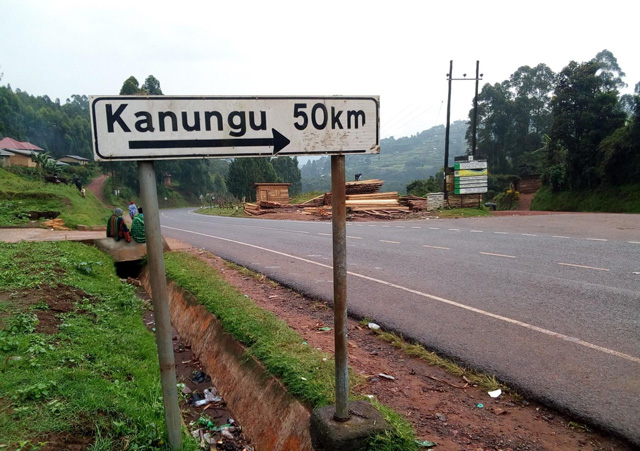
All about Kanungu
![]()
Geographical Location, Size and Topography
Diocese of Kinkiizi is located in south western Uganda bordering North Kigezi Diocese in the North and East, Diocese of Kigezi in south east, Muhabura in the south and Democratic Republic of Congo in the West. The Diocese straddles the Equator. Kanungu Town is approx 450kms from our capital city Kampala. The Diocese of Kinkiizi and Kanungu District share the same Administrative borders.
The Total Geographical area of the land is approx 1228sq km comprising of 60% small scale farmland, 15% high tropical forest, 11% woodland, 9% grassland, 2% bush land, 1% open water and 2% miscellaneous mosaics. The Northern area forms part of the Western Rift Valley with undulating plains. The middle part which covers Rugyeyo Archdeaconry, Cathedral Chapter and Kanyantorogo Sub county comprise of relatively flat toped hills with gentle sloping sides and broad valleys. The hills gradually increase in height to the mountains of Rutenga with Burimbi peak of Mafuga being the highest at 8222ft followed by some other peaks like Kirenzi which is 1,675m above sea level.
Land Use
Agriculture is the main land use in Kinkiizi Diocese and is the major economic activity. The land is highly fragmented due to traditional practices of inheritance and high Population density. The concept of land use planning is still new and is only practiced to a limited extent where specific areas are assigned for commercial buildings, residential, road network and Institutional Sites. Queen Elizabeth National Park, and Bwindi Impenetrable National Park world heritage site, are within the Diocese.
Land shortage coupled with intensive use of subsistence agriculture has led to soil degradation, poor yields and ultimately-poverty; small scale artisan fishing takes place within Inland water bodies including Wet-lands and Rivers. Fishing is done from Lake Edward through the Rwenshama landing site in North Kigezi Diocese. Mining in the Diocese is not prominent. There is some prospecting and other activities of land excavation like bore hole drilling show some evidence of mineral existence. Such minerals include Wolfram and Gold. The only mining activity taking place is excavation of sand and clay mainly for construction and pottery. There are also prospects of petroleum products in Nyamirama and Kihihi Archdeaconries and the prospect of major oil reserves is being actively pursued.
Wildlife
There are four different types of protected areas in the Diocese of Kinkiizi: National park, Game Reserves, Central forest Reserves and local forest Reserves. In these protected areas, there are a variety of Wildlife including animals, birds and reptiles particularly in the Queen Elizabeth N.P. Animals Include: Buffaloes, climbing Lions, mountain Gorillas, Elephants, Uganda Cobs, and many species of birds and reptiles.
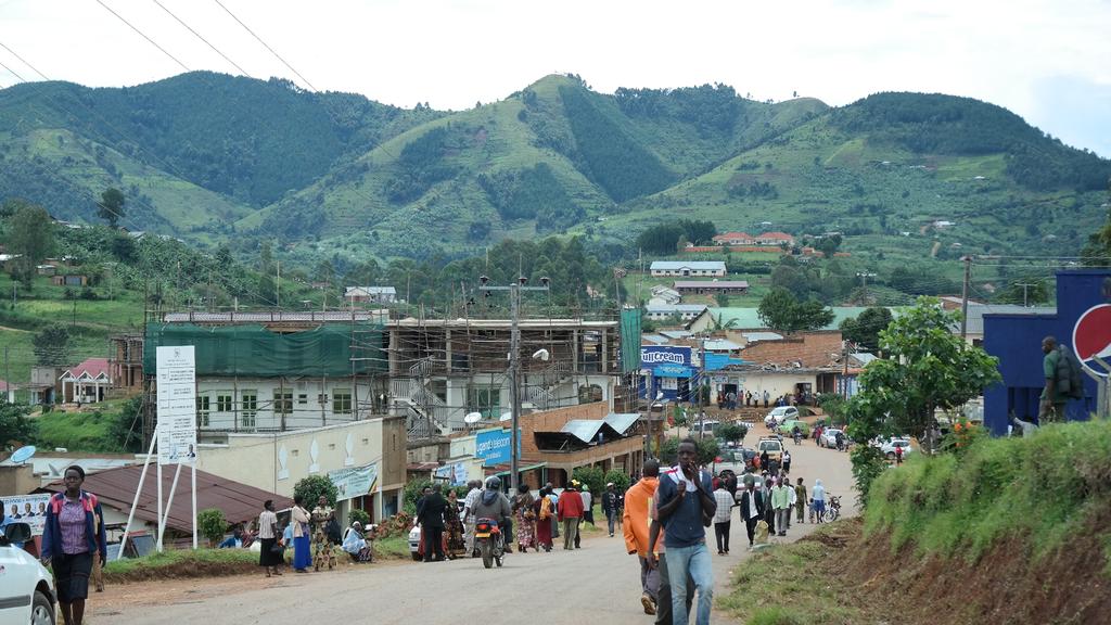
Infrastructure
The Diocese has a main road network but these are still marrum roads. Hotels Include Savanna resort situated in Kihihi Archdeaconry, three hotels operating under the Diocese; Holy Cross Guest House Nyakatare, Ramsden Guest house and Bwindi Guest House. There are several tourist camps in Bwindi and many small hotels in Kanungu, Kihihi and Butogota Towns. There are two small Airstrips in the Diocese at Kayonza/Ishasha sector of Queen Elizabeth N.P and another in Kihihi Archdeaconry near Savannah Resort.
Climate and water bodies
The Diocese has a tropical type of Climate receiving moderate and fairly well distributed annual rainfall of about 1200mm. It receives a bimodal type of rainfall between the months of March-May and September – December. The rest of the months experience dry conditions. Temperatures range from 200c – 300c. Inland water bodies in the Diocese include: River Ishasha, R. Nchwera, R. Kiruruma, R. Birira and Lake Edward.(g) Population and People
The population of Kinkiizi has continued to grow since 1980, with a fertility rate of 6.4 which is among the highest in the country. The population of Kanungu District today stands at approximately 220,500 people. Females 114,800, Males 106,700. Population density is 164 Sq km. The population represents a number of ethnic and tribal groups with the Bakiga being the single largest group, Bafumbira, Bahororo and Batwa. Anglicans number approx 100,000.